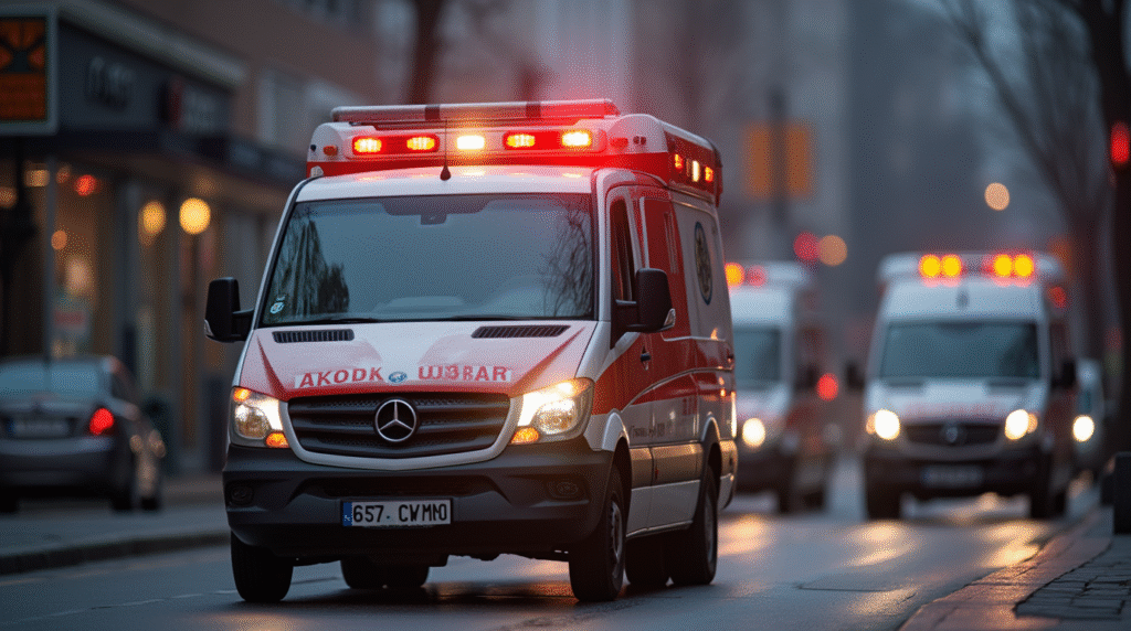
Power outages, flash floods, and fast-moving crimes all share one thing—they demand an Emergency Response plan that kicks in within seconds. When that plan links up with AI city surveillance systems, decision makers gain a live map of every risk before it snowballs into a crisis. This guide walks you through the newest playbook for Disaster Management and shows how citywide cameras, sensors, and analytics turn raw footage into life-saving insight.
The Risk Landscape: Why Minutes Matter
Emergency managers have long worked around the four classic phases—prevention, preparedness, response, and recovery (pmc.ncbi.nlm.nih.gov). Yet urban hazards have ballooned: extreme weather, crowded events, and ever-shifting crime patterns. That’s where AI city surveillance rewrites the timeline:
- Predicts threats before calls hit dispatch
- Pushes automatic alerts to fire, police, and medical crews
- Feeds real-time visuals into the command center so leaders can send the right resources, first time
Simply put, tighter Emergency Response backed by cameras means fewer blind spots and faster containment.
How AI City Surveilance Boosts Each Phase
Prevention & Preparedness
- AI city surveilance checks traffic, weather, and social feeds for early warning signals.
- Smart dashboards help Disaster Management teams stage gear and crews in advance.
Response
- Video analytics spots smoke plumes, flash mobs, or suspicious bags in seconds.
- Field units grab drone or street-camera clips right on mobile devices.
Recovery
- Post-incident footage speeds insurance claims and after-action reviews.
- Long-term data trends guide zoning and building code updates, lifting community resilience.
Tools That Keep Eyes on the Street
- live video monitoring that never blinks
- ai cloud analytics camera that flags cars going the wrong way
- Rugged Security cameras already mounted on poles and rooftops
- A deep library of integrations—license-plate readers, gunshot locators, and IoT sensors, all speaking the same language
Dig into the tech details on AI city surveillance when you need a nuts-and-bolts explainer.
Case Study 1 — San Diego’s Smart Streetlights
San Diego switched on 500 streetlight-mounted cameras and ALPR units in late 2024. In the first eight weeks:
| Metric | January–February 2024 |
|---|---|
| Major investigations helped | 22 |
| Stolen vehicles recovered | 12 |
| Suspects in custody | 11 |
Early feedback shows a 20–35 % cut in Emergency Response times for violent crime calls (police1.com). The cameras stream into a real-time crime center, where analysts was stunned by how quickly patterns popped up.
Case Study 2 — Tasmania’s AI Fire Watch
Forest manager Forico added four 360-degree AI cameras covering 173 000 ha of timberland. Each unit scans 16 km in every direction and alerts crews within two minutes of smoke detection (forico.com.au). The system gives alerts in clear crystal images, letting firefighters beat flames red bright before they reach homes or power lines.
Locally Relevant Snapshot — Riverside County, CA

Riverside County just expanded its license-plate reader network from 210 to 538 units (abc7.com). Sheriff’s deputies report quicker suspect tracking on violent-crime warrants, and city councils are now reviewing AI city surveillance feeds during budget talks. Check how neighbors rate these upgrades on our yelp page.
Matching AI to the Four Pillars
| Pillar | Key AI Feature | Typical Time Saved |
|---|---|---|
| Prevention | Predictive hot-spot mapping | 30 % planning time |
| Preparedness | Automated drill scheduling | 25 % staff hours |
| Response | Instant video push to mobiles | 40 % dispatch-to-onsite |
| Recovery | Auto-generated incident logs | 50 % paperwork time |
Planners can turn this table into a quick visual for council briefings.
Roadmap for Leaders
- Audit current sensors—know what you already own.
- Set clear use policies with privacy checks baked in.
- Start small: pick one district, plug cameras into dispatch, and measure response minutes.
- Train analysts; false alarms hurt trust.
- Scale city-wide once metrics hit target.
Our command staff has review the clips in seconds when the roll-out follows that sequence.
Ready to Act?
Grab your free quote and see how the iWatcher Plus team can wire up Emergency Response centers without blowing the budget.
FAQs
How often should an Emergency Response plan be updated?
Update after every major incident or at least yearly so lessons stick.
Can existing CCTV systems plug into modern AI city surveilance platforms?
Yes—most IP cameras swap into AI dashboards with a firmware tweak.
What funding options exist for Disaster Management tech?
Grants from FEMA’s BRIC program, public-private partnerships, and local safety bonds top the list.
Does AI city surveilance breach privacy?
Proper masking, short data-retention rules, and community oversight panels keep cameras aimed at events, not private life.
Why choose iWatcher Plus for city projects?
We pair field-tested gear with 24/7 support so your crews stay focused on saving lives, not chasing glitches.
To sum up
Modern Emergency Response and forward-looking Disaster Management thrive on the situational awareness only AI city surveilance delivers. When data streams smoothly from street pole to dispatcher to squad car, agencies cut risk, boost public trust, and keep budgets in check. Ready to move? Our team is one click away.
here’s another article you might be interested in:
Your Fast-Track Guide to Winning Smart City Funding
Ready to Upgrade Your Security? How to Add AI Analytics to Any System

